Drone Roof Inspection in Bozeman, MT
Drone Roof Inspection in Bozeman and the Gallatin Valley
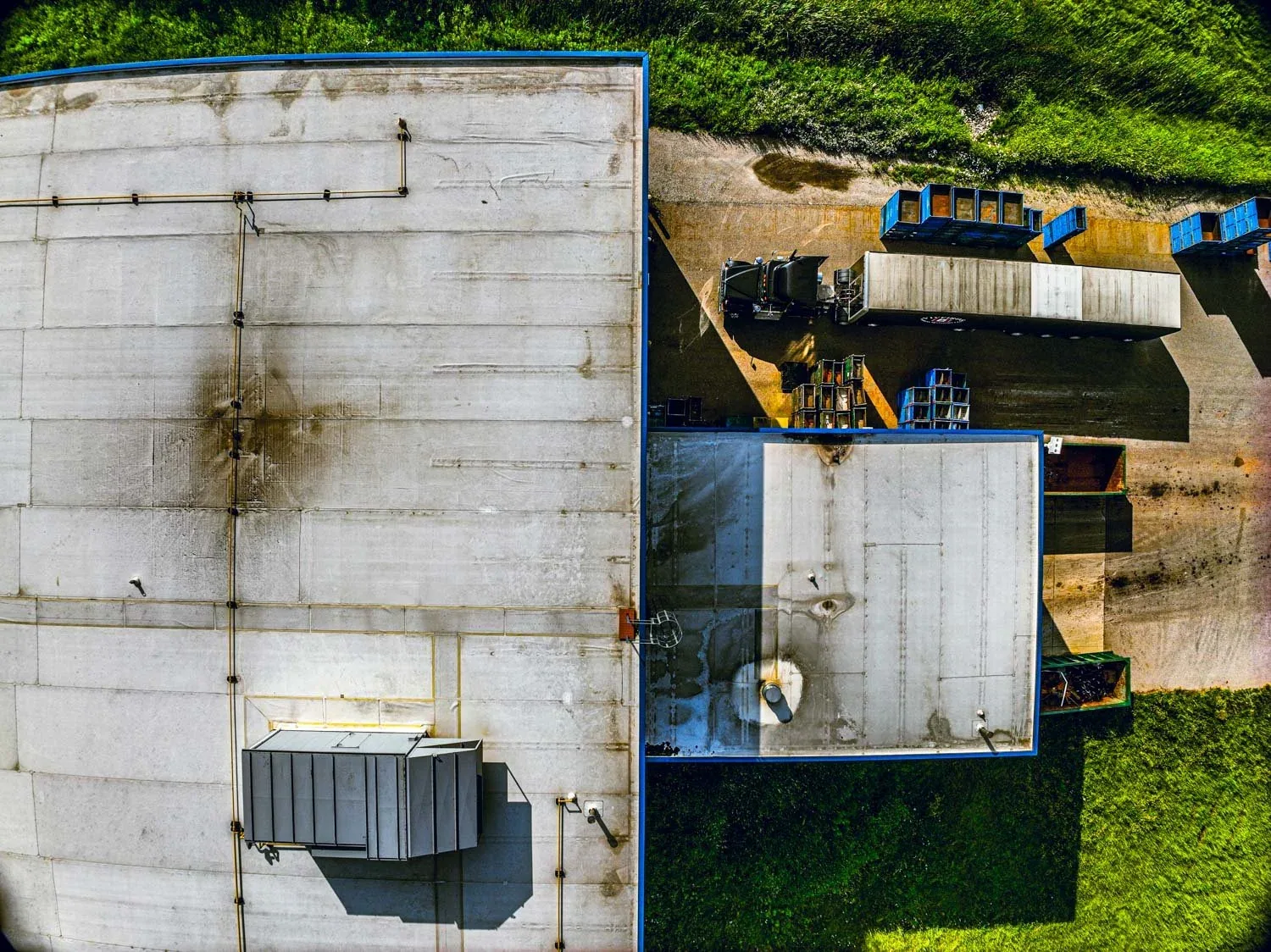
A long warehouse roof in the Gallatin Valley is easy to underestimate from the ground. The seams run for hundreds of feet, the drains sit in the far corner and the south slope holds ice into April. Walking it takes hours and puts a person on a surface that may be slick. A drone covers that same roof in a fraction of the time and returns images that show every stain, split and ponding line.
In Bozeman, MT, we use a drone to see more roof, faster and with less risk, and then we send people up for the details a camera cannot confirm.
When does a drone beat a ladder?
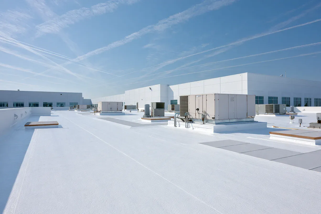
A drone earns its place on large, steep or hazardous roofs. A distribution building near the Jackrabbit Lane interchange in Belgrade can stretch across several acres. A tall roof on a Montana State University lab building, or a high-ceiling retail box on North 19th Avenue, may need a lift just to reach the edge. After a heavy snow or an ice event, a roof may be unsafe to walk until the load clears, and the drone shows the condition without anyone stepping onto the membrane.
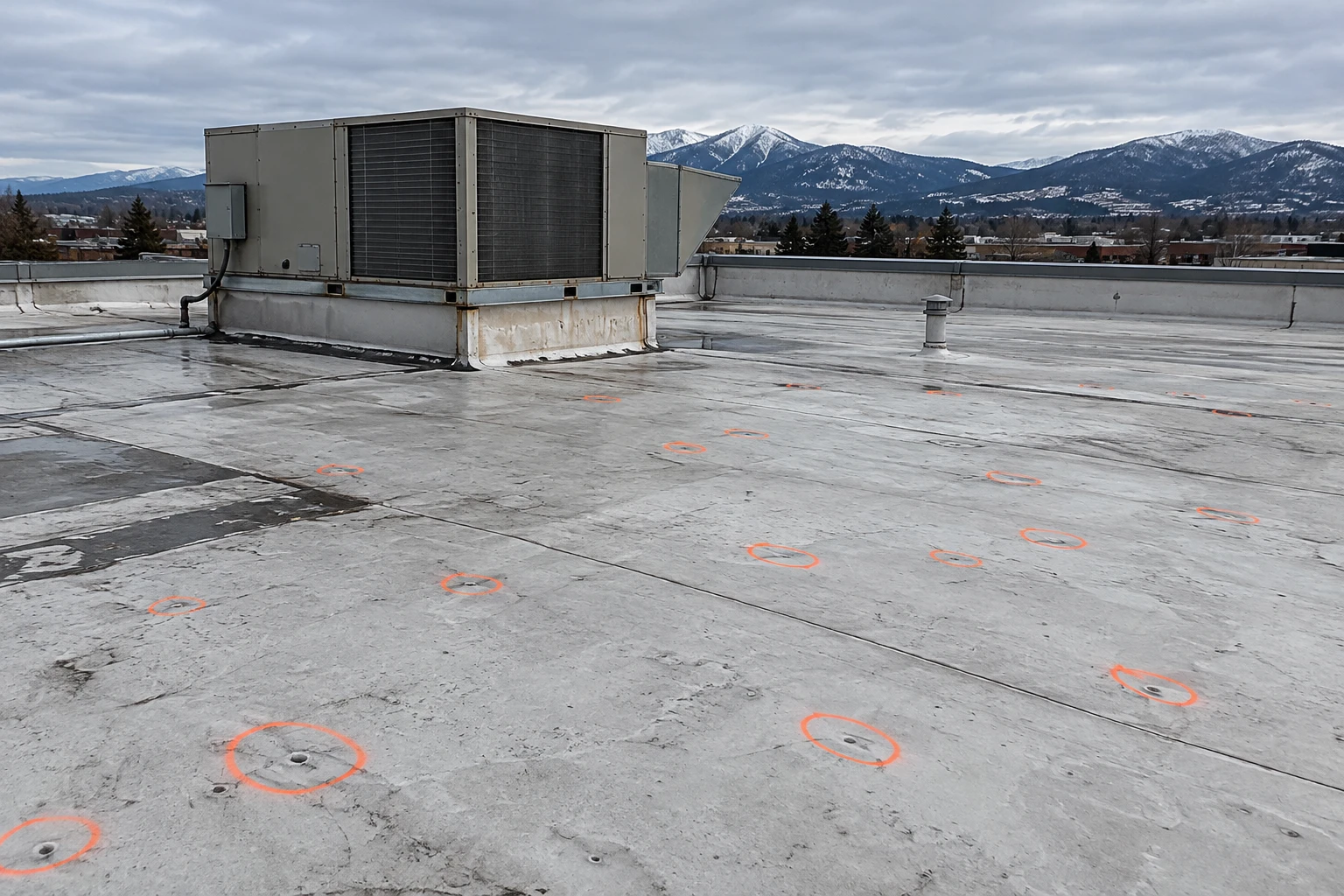
The camera does not replace a hands-on roof inspection. It tells us where to look. We use the images to plan the walk, so time on the roof goes to the places that matter, such as the low corner where water stood, the seam run that looks open and the curb with the stained base.
What does the imagery show?
High-resolution photos reveal ponding lines, staining, open laps, blistering, lifted edge metal, missing fasteners, debris in drains and damaged flashing. Oblique passes show parapet walls and the faces of rooftop units. A grid of overlapping photographs can be stitched into an orthomosaic, a scaled map of the roof that lets us measure areas and mark defects on a plan.
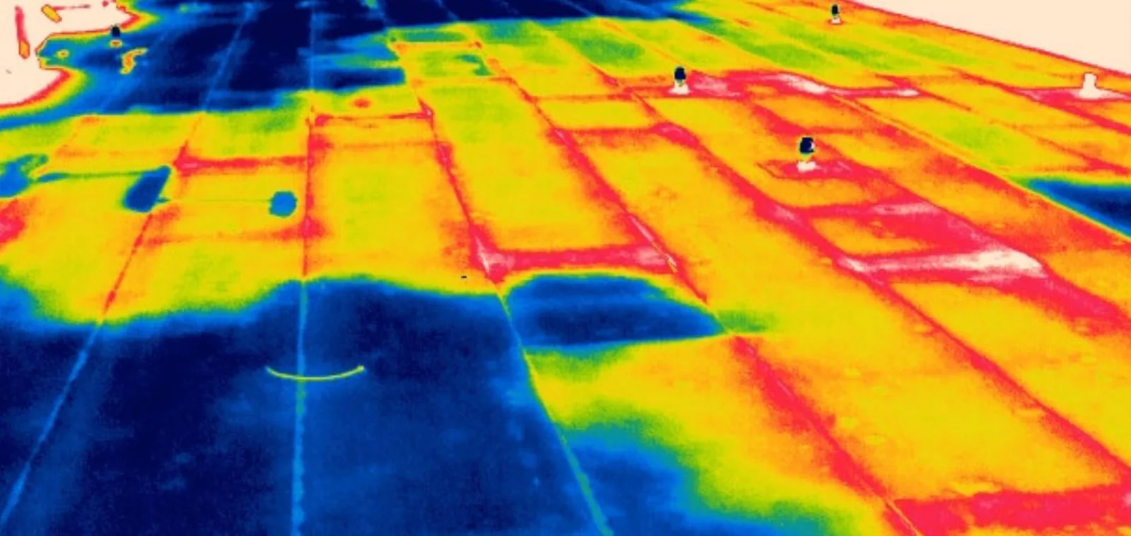
Thermal imagery adds another layer, and it is useful on the large flat roofs that fill Belgrade's warehouse corridor. On a cool evening after a sunny day, wet insulation holds heat longer than dry insulation, and the camera shows the difference. A thermal pass flags areas for a follow-up moisture survey, which confirms the finding with core cuts. A thermal image alone is not proof of a wet roof, and we do not treat it that way.
What about airspace near the airport?
Bozeman Yellowstone International Airport sits next to Belgrade, about eight miles northwest of Bozeman, and handled about 2.8 million passengers in 2025. Roofs in Belgrade and on the north side of Bozeman may fall inside controlled airspace around that airport. Before flying there, a pilot needs FAA authorization and often a call to the tower, and the flight plan must keep a safe altitude and distance from approach paths.
We plan each flight with the airspace map, request authorization where required and fly with a trained remote pilot and a visual observer. We also check wind. Gusts are a regular part of the valley, and the weather at Livingston, where wind speed is among the highest of any U.S. airport station, reminds us how fast conditions can change. If the wind rises above our limit, we land and reschedule.
How do we use a drone after a hailstorm?
In June 2010, baseball-size hail came down east of Gallatin Field and golfball stones followed over town, which left owners across the city with roofs to check. A drone does that quickly. We fly a grid, mark bruises, cracked coating and dented vents, and compare the pattern with weather dates. Hail damage often shows on the upwind slope and on vulnerable parts such as skylights. The images become part of the claim file, along with ground-level photos of the worst spots. Larger bruising feeds into hail damage repair planning.
How does a drone make the roof safer?
Fewer people on a bad roof means fewer falls. Icy membranes, skylights hidden under snow, soft spots in wet insulation and unprotected edges are all hazards that a camera can survey from the ground. We use the first flight to find those hazards, mark them on the plan and set the walk route before anyone climbs. Where a roof has no permanent tie-off points, we plan temporary ones. The survey also shows rooftop equipment that could be energized or steaming, so we know which areas need an escort from the building engineer.
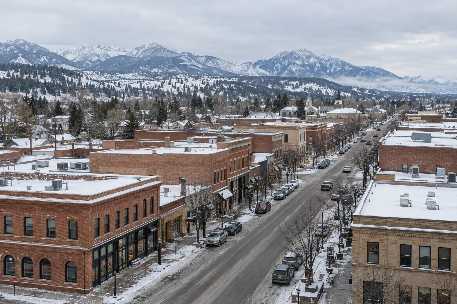
For owners of tall or hard-to-reach buildings, the safety benefit is as important as the speed. A property manager in downtown Bozeman can see the condition of a high roof without arranging a lift, and a tenant below does not need to be disturbed by a crew traversing the building.
Can we fly in winter?
Often yes, within limits. Cold drains batteries, wind affects control and snow covers defects. We fly on clear, calm days after melting, keep batteries warm until launch and plan shorter flights. The best winter flight happens after the first thaw, when the membrane is clear and the sun is low enough to cast shadows that highlight seams and laps. With roughly 91 inches of snow in a Bozeman year, the usable flight days in the cold months are few, and we keep a standby day open when the forecast looks good. In spring and fall, the longer light gives us the most flexibility, and mid-morning passes avoid the glare that washes out a bright membrane at noon.
What does the owner receive?
The deliverable is a report with an annotated roof plan, selected images with defect callouts, a list of areas for ground verification and, where used, thermal findings. Owners can share the images with a lender, an engineer or an adjuster. For a building in Belgrade or Four Corners, we send the report with a flight log noting date, time and conditions.
Questions About Drone Roof Inspection
Is a drone inspection a substitute for a roof walk?
No. A drone shows the surface from above, while a walk lets us probe seams, press on soft spots and cut cores. We recommend using the drone first on large or hazardous roofs and following with a targeted walk. The two together are faster and more complete than either alone.
Can a drone find a leak?
A drone can show likely sources, such as ponding, split seams or a damaged curb, and thermal imagery can flag wet insulation. It cannot confirm a leak path on its own. We pair the aerial work with a trace, which uses interior readings and, where needed, a water test.
Do you need permission from the property owner and the FAA?
Yes. We need the owner's written approval to fly over the property, and we obtain FAA authorization for flights in controlled airspace. Near Belgrade and the airport, expect a short lead time for approval.
How much time does a drone inspection save?
The time saved depends on the roof, but large roofs show the largest gain, since the drone covers acres of surface in less time than a person can walk. The savings also come from fewer trips onto hazardous roofs. We do not promise a number, and we tell you when a walk is the better first step, for instance on a small roof where a person can see every detail in twenty minutes.
What happens to the images afterward?
We keep them with the project record and share the report with the owner. The images support repair scopes, replacement planning, budget meetings and claim documentation, and they give the next inspector a baseline to compare against. If you want the raw files, ask when we schedule the flight.